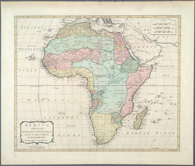
Detail View: Maps of Africa: Africa with all its States, Regions, Islands &ca. from the most Approved Authorities.
|
Title:
|
Africa with all its States, Regions, Islands &ca. from the most Approved Authorities.
|
|
Publication Place:
|
London
|
|
Publisher:
|
Sayer, Robert, 1725-1794
|
|
Publication Date:
|
1789
|
|
Cartographer:
|
Kitchin, Thomas, d. 1784
|
|
Engraver:
|
Kitchin, Thomas, d. 1784
|
|
Height:
|
44 cm.
|
|
Width:
|
53 cm.
|
|
Scale:
|
Scale in British statute miles, nautical leagues and traveling leagues
|
|
Color:
|
Colored
|
|
Descriptive Notes:
|
Prime meridian through Ferro Island.
|
|
Provenance:
|
Dr. Oscar I. Norwich
|
|
General Area:
|
Africa
|
|
Geographic Focus:
|
Africa
|
|
Period:
|
18th c.
|
|
Norwich Number:
|
107
|
|
Call Number:
|
NOR 0107
|
|
References:
|
Norwich (2nd ed.), ckey = 3871463
|
|
Page:
|
map 0107, p. 125
|
|
Program:
|
Jacobson Africana Program
|